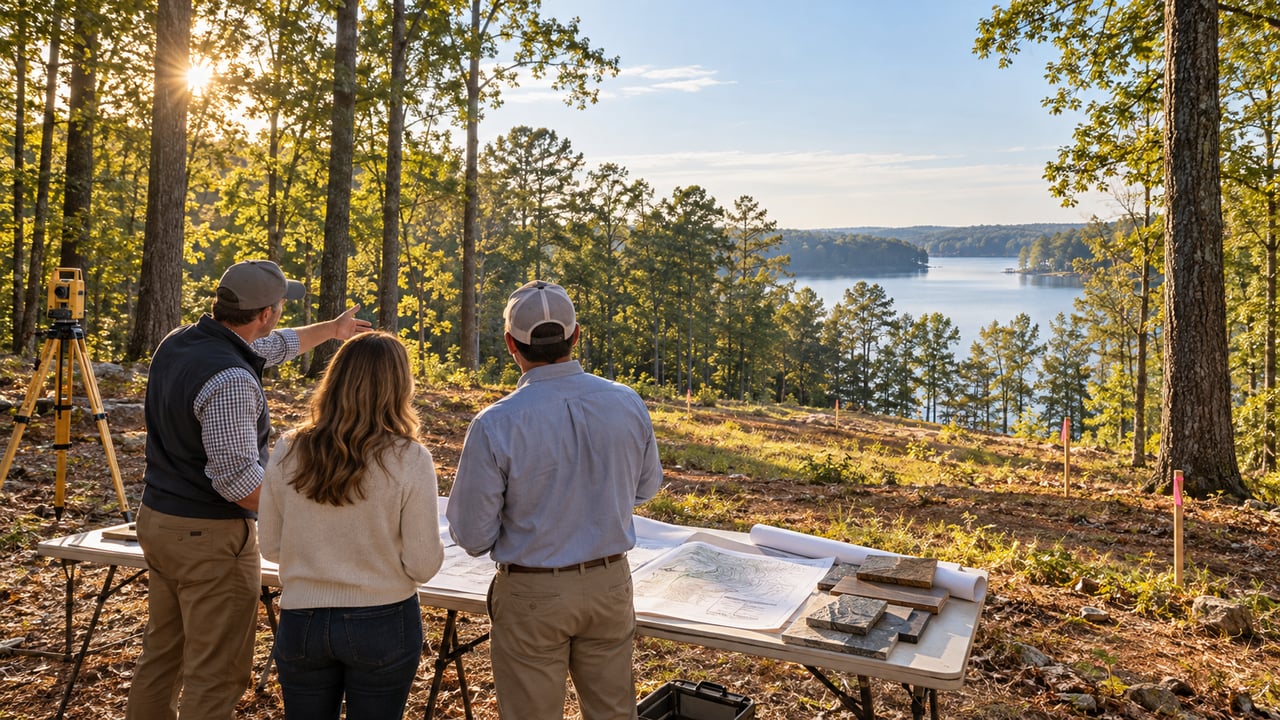
A beautiful piece of land can inspire the house before anyone understands whether the house fits. Around Lake Norman, mature trees, water views, privacy, and rolling terrain can make a parcel feel ideal within minutes. The harder questions come next: What can legally and physically be built there, what will the site require, and how much of the budget will be consumed before the foundation begins?
For a custom-home buyer, the lot should shape the design. Evaluating the land first can prevent an expensive plan from colliding with setbacks, septic limitations, drainage, access, utilities, or shoreline rules.
Here is a practical due-diligence sequence for land in Huntersville, Cornelius, Davidson, and the greater Lake Norman area.
1. Confirm the governing jurisdiction and zoning
A mailing address does not always identify the agency controlling development. A parcel may be inside town limits, within an extraterritorial planning area, or under county jurisdiction. Start by confirming which planning department has authority, then verify zoning or planning-area classification, permitted uses, dimensional standards, overlays, and recorded conditions tied to prior approvals.
Mecklenburg County’s GIS resources include POLARIS and GeoPortal, which display parcel ownership and layers such as zoning, floodplains, buffers, and historic districts. Treat online mapping as a research tool and confirm its meaning with the appropriate planning staff. Geospatial Information Services
The local process also varies. Davidson directs buyers and applicants to its Planning Department for parcel research, planning areas, permits, and development standards. Cornelius, Huntersville, and jurisdictions in Iredell, Lincoln, and Catawba counties maintain their own rules and review procedures. Davidson, NC - Official Website
Before closing, ask whether the intended home type, footprint, height, garage orientation, pool, accessory building, and driveway are allowed.
2. Obtain a survey and study the buildable area
The acreage in a listing is not the same as the usable building envelope. A current boundary and topographic survey can identify property lines, easements, rights-of-way, encroachments, elevation changes, streams, and visible improvements. A civil engineer or site designer can then test a preliminary house footprint against the parcel’s constraints.
Pay close attention to access. Confirm that the property has legal and practical road access, that a driveway can meet applicable standards, and that construction vehicles can reach the building area. On a steep or narrow site, driveway grading, retaining walls, tree removal, and erosion control may influence both the design and budget.
Avoid clearing or grading the property simply to improve the view before the appropriate professionals evaluate it. Early disturbance can interfere with soil analysis, drainage, tree requirements, or permit review.
3. Verify utilities before assuming they are available
“Utilities nearby” does not establish that water, sewer, electricity, gas, broadband, or stormwater connections are available at the lot. Request written availability information when possible and identify connection points, easements, capacity, and extension responsibilities.
If the lot will use septic, evaluate it before finalizing the number of bedrooms or site plan. Mecklenburg County explains that a septic improvement-permit application requires a scaled plan showing the proposed development. Soil and topography determine whether and how a system can be installed, and suitability can change over short distances. Environmental Health
The septic area and repair area must work with the home, driveway, pool, outdoor living, well, and future additions. A permit prepared for a smaller concept may not support the home you intend to build.
4. Understand water, drainage, buffers, and flood information
Walk the property after rain when possible. Look for concentrated runoff, low areas, erosion, standing water, exposed roots, and drainage entering from neighboring land or roads. A geotechnical or civil evaluation may be appropriate when soils, slopes, fill, or retaining conditions are uncertain.
Review the current official flood information through the FEMA Flood Map Service Center, then determine whether local floodplain, stream-buffer, watershed, or stormwater rules also apply. fema.gov
Impervious-surface limits can influence the combined size of the roof, driveway, walkways, patios, pool deck, and accessory structures. Build the entire wish list into the early site study instead of preserving space only for the house.
5. Treat waterfront and dock potential as separate questions
A Lake Norman parcel with shoreline does not automatically guarantee a new dock, larger dock, shoreline stabilization, dredging, or vegetation removal. Duke Energy manages permitting for piers, docks, shoreline landscaping, and related activity across the Catawba-Wateree system. Property owners should contact Lake Services before beginning shoreline work. illumination
Before assigning value to future lake improvements, verify the shoreline classification, existing permits, ownership records, lot-specific restrictions, and whether the proposed use is eligible for review. Also study water depth, exposure, navigation, access at varying lake levels, and the cost of maintaining the shoreline and structures.
6. Read the private restrictions
Zoning approval does not override recorded covenants or architectural rules. Review the deed, plat, easements, HOA documents, architectural guidelines, minimum-size requirements, material standards, tree rules, setbacks, construction-hour restrictions, and builder-approval process.
Ask whether there are plan-review fees, road-impact deposits, construction deposits, deadlines, or limits on detached garages, pools, fencing, rentals, or boat storage. Recorded private restrictions may still apply when a parcel is outside an active HOA.
7. Price the site before pricing the house
Custom-build estimates often focus on the residence while treating the lot as a separate purchase. The complete project budget may also include surveys, design, engineering, permits, clearing, grading, erosion control, driveway work, utility extensions, septic or sewer, wells, retaining walls, drainage, landscaping, and financing costs.
Ask the builder to distinguish the house cost from site allowances and exclusions. Carry a reserve for conditions that cannot be fully known before excavation. A lower-priced lot can become the more expensive choice when access, soil, utilities, or topography demand significant work.
The strongest sequence is lot research, professional site evaluation, preliminary feasibility, realistic site budgeting, and then architectural design. That order gives the design a reliable foundation.
If you are considering land for a custom home in Huntersville, Cornelius, Davidson, or elsewhere around Lake Norman and Charlotte, contact Austin Quick to coordinate a focused property search and due-diligence plan with the appropriate builder, designer, surveyor, lender, and local specialists.